
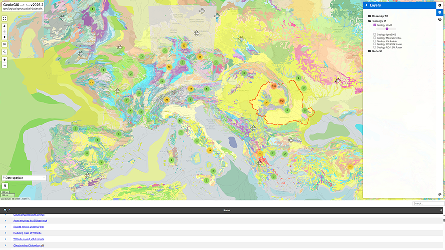
GeoloGIS - geological geospatial datasets
Details
- Category: Website
- Project date: 2020 - present (ongoing)
- Project URL: https://geologis.uaic.ro
GeoloGIS was created to make spatial geological data more accessible through interactive, web-based thematic maps. Designed as a foundational tool for students (BSc, MSc, PhD), researchers, and academic staff, this platform provides the essential cartographic framework needed to plot sample locations, define study areas, and visualize complex geological, geochemical, and hydrogeological interpolations.
By bridging traditional fieldwork with modern GIS technology, the GeoloGIS portal empowers users to dynamically explore, interpret, and quantify geological data.